After 4 days business in Dresden I had a few days in Czech Republic and Poland. My day start at 0445 to get a coach back to Prague with my work colleagues who were flying to Edinburgh along with colleagues from our offices in Tel Aviv and Tampere. I picked my hire car and was off. Well I was once I had the GPS working and decided a rush hour trip across Prague was sensible. Nothing like getting used to a new car and driving in a new country by driving the capital’s rush hour traffic. Well it was simple and soon I was at the first stop.
Velká Dorota OK/KR-057 (11-oct-2018)
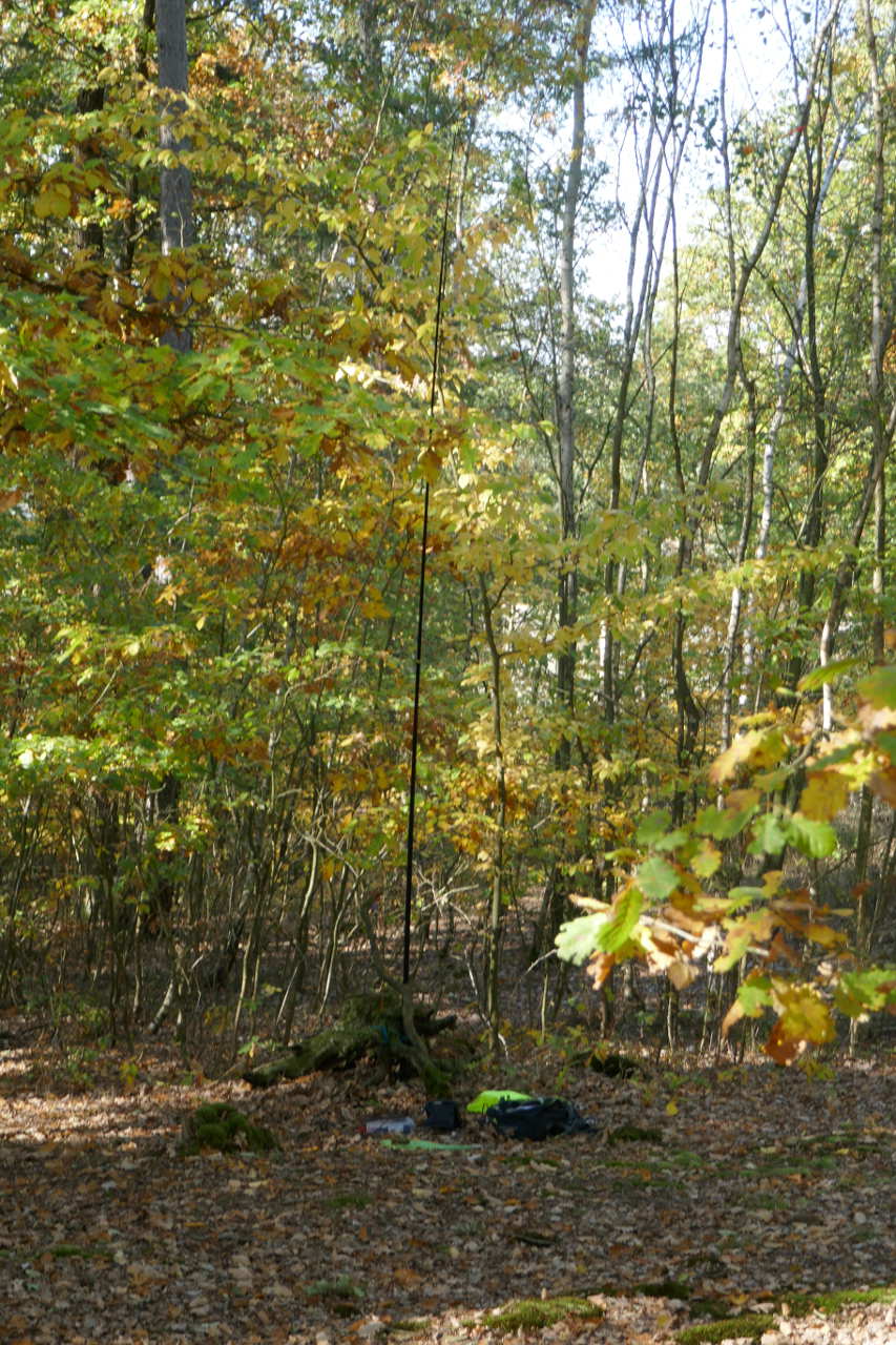
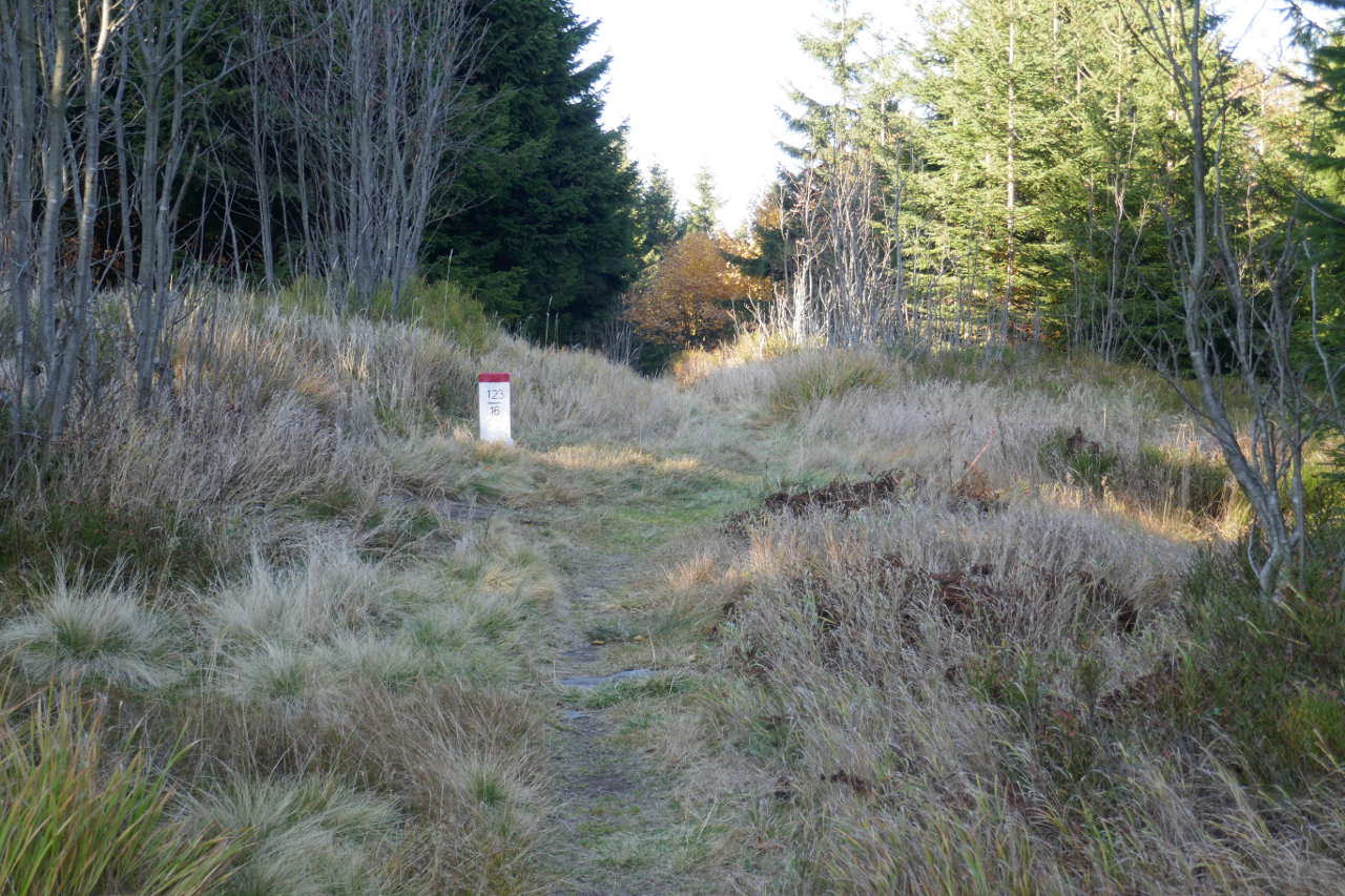
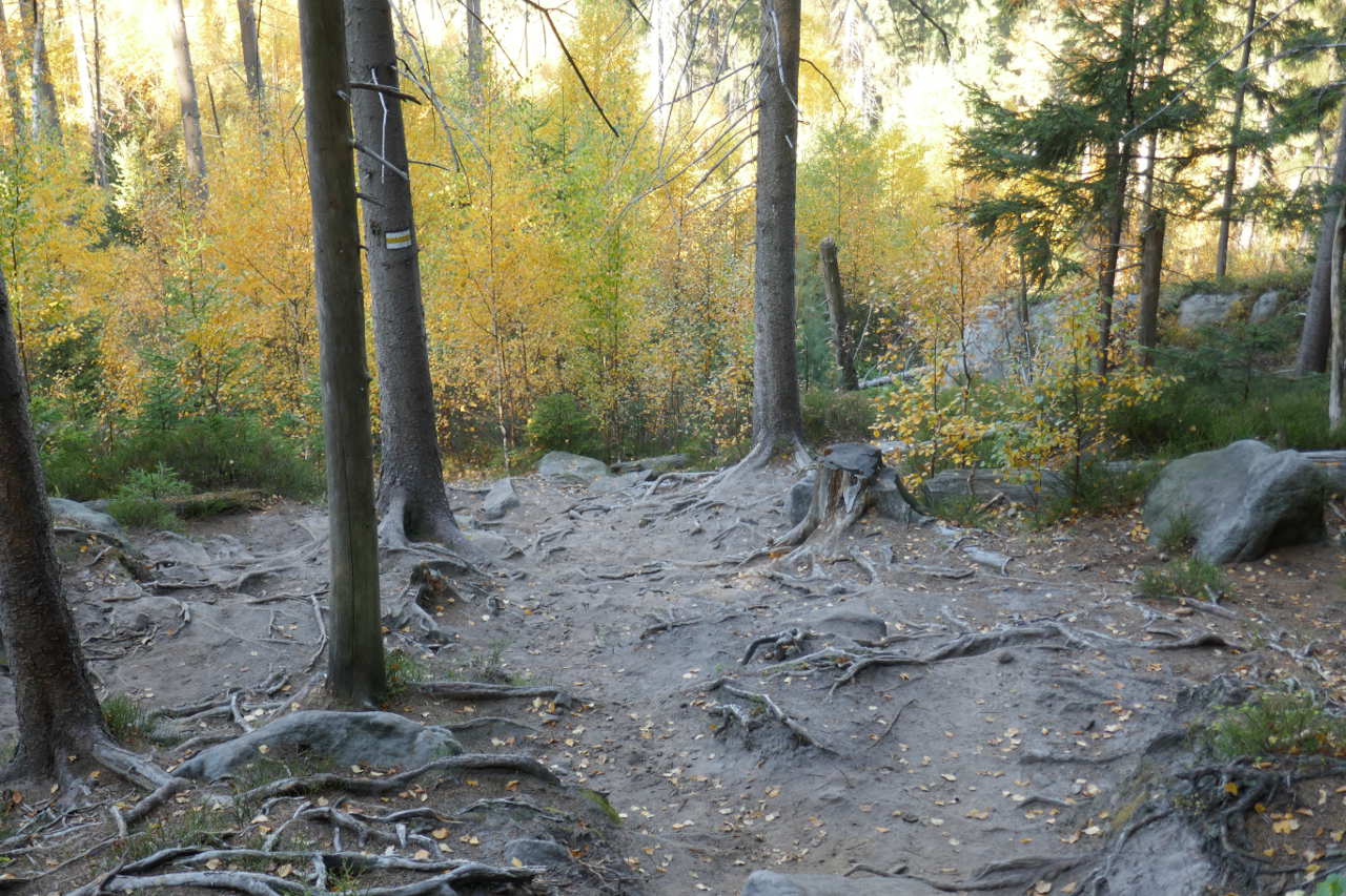
I parked at the end of a forest track and walked up well into the AZ but not to the summit. Not much point as there is no view. Antenna was the 40/30/20 trapped end fed slung in the trees. 19 QSOs on 40m and 8 on 30m. 25 on CW and 2 on SSB.
Chlum OK/KR-058 (11-oct-2018)
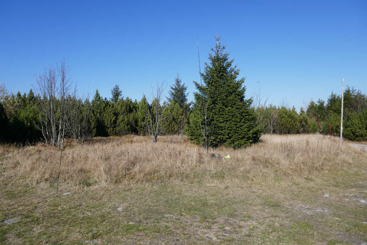
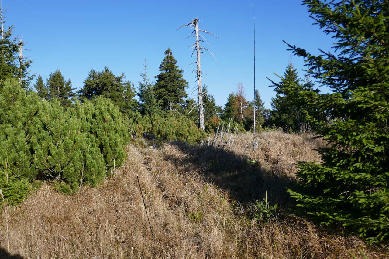
This was about 20 mins drive but it took nearly as long to find the road the GPS was telling me about. Looked very much like a track. Mapping Martha (the GPS lady with the posh voiced) kept telling me I was offroad and no doubt the hire company will scratch their heads looking at where I parked. I wandered for about 10mins from the car to make sure I was in the AZ. Again trees everywhere so no point getting to the absolute top. 30m/ 20m vertical Buddistick and 5 QSOs on 30m and 3 on 20m, all CW.

I was knackered after 2 early starts, a lot of late nights with my work colleagues and driving on the wrong side of the road so I quit activating and made for my hotel.
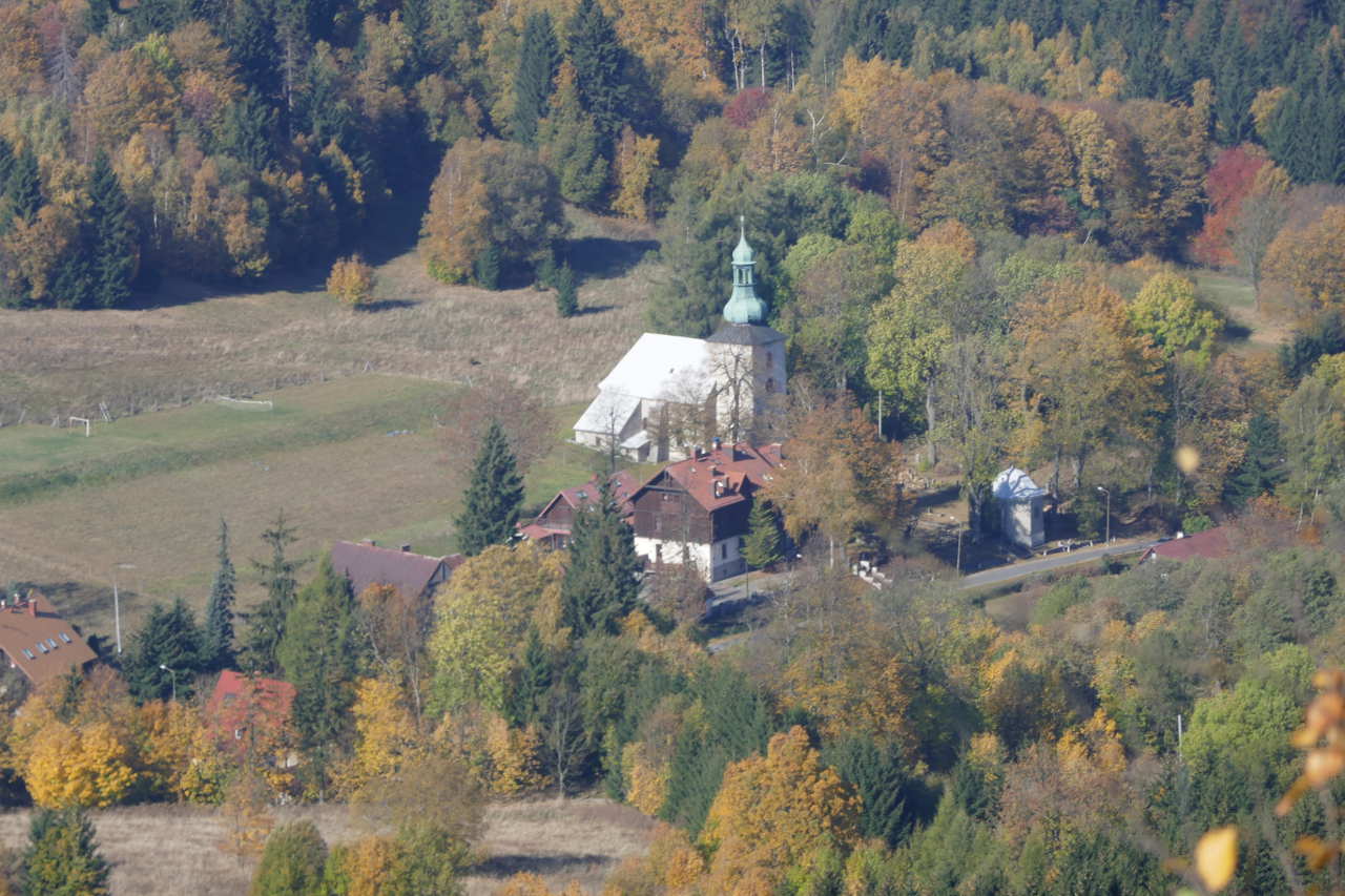
Kamenný vrch OK/KR-064 12-10-18)
Refreshed after a good meal, plenty of beer and a good sleep, the 1st summit was about 50mins drive from my hotel in the Eagle Mountains. There is a nice horse-shoe walk here that lets you bag 5x 10 points for 12.5k walking. I did find I’d forgotten my fleece and waterproof. It was 13C with a cold wind which worried me but it was due to get up 20-22C so I thought give it a bash.
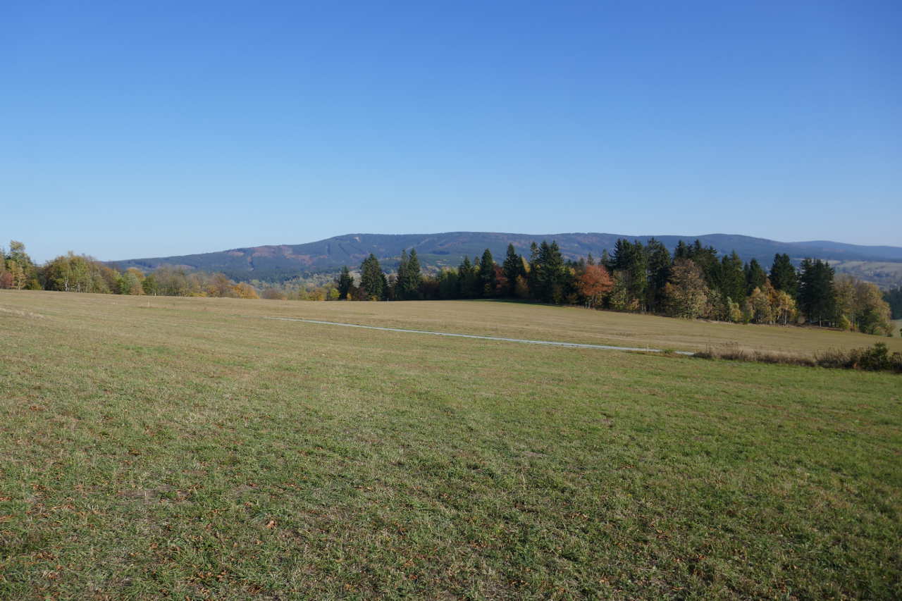
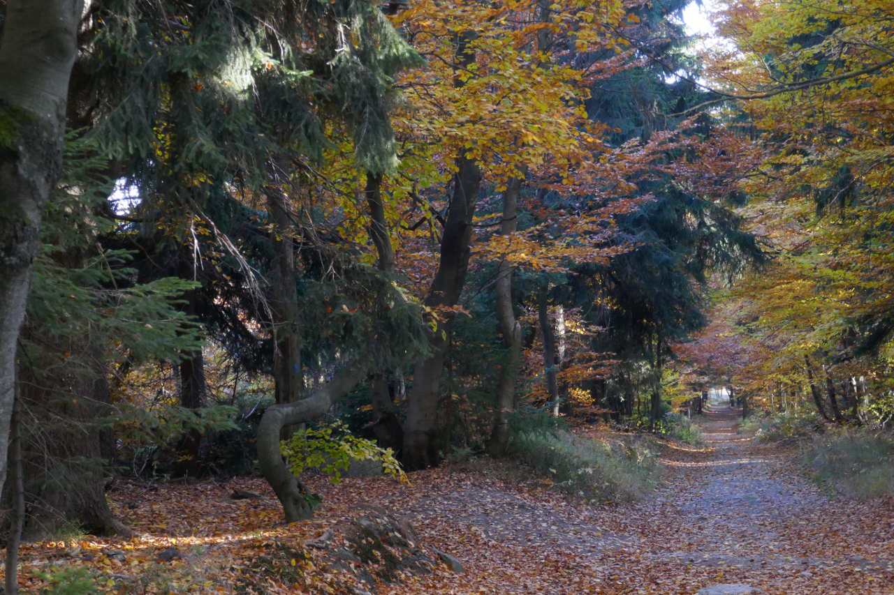
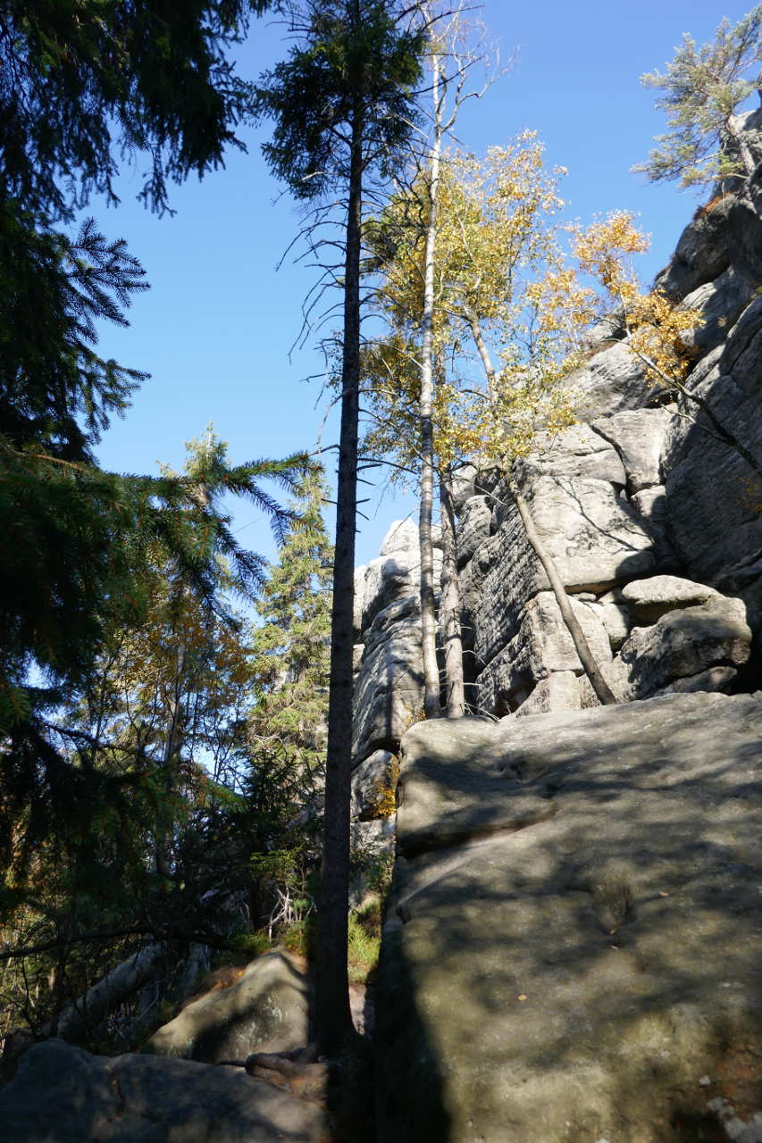
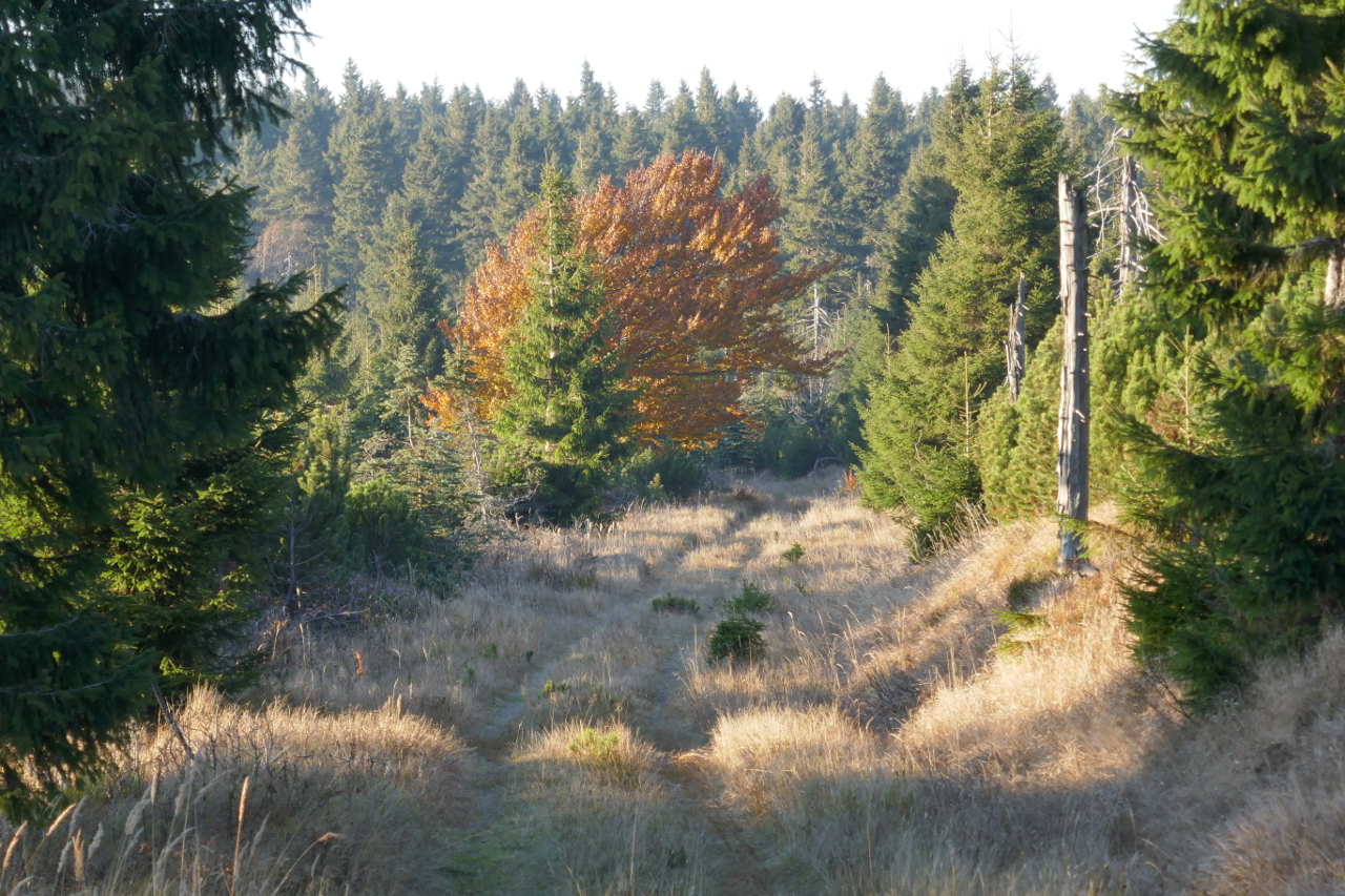
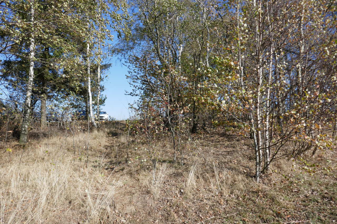
Nice Autumn colours at the start of the walk.
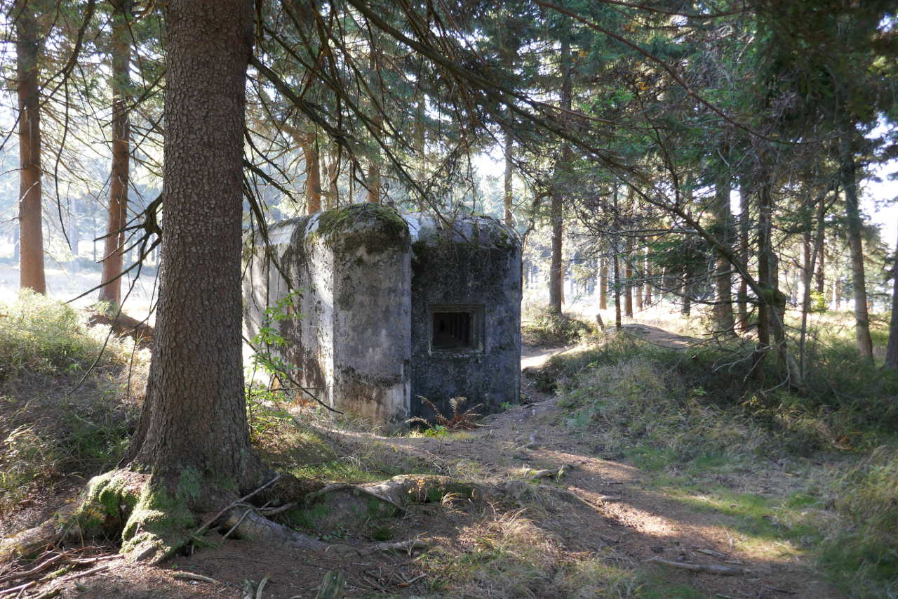
An old pill box to guard the border between Czech Republic and Poland. I thin kit was these countries when this was built but the borders changed a lot after WWII.
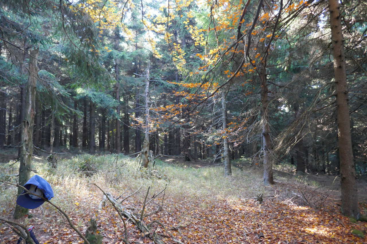
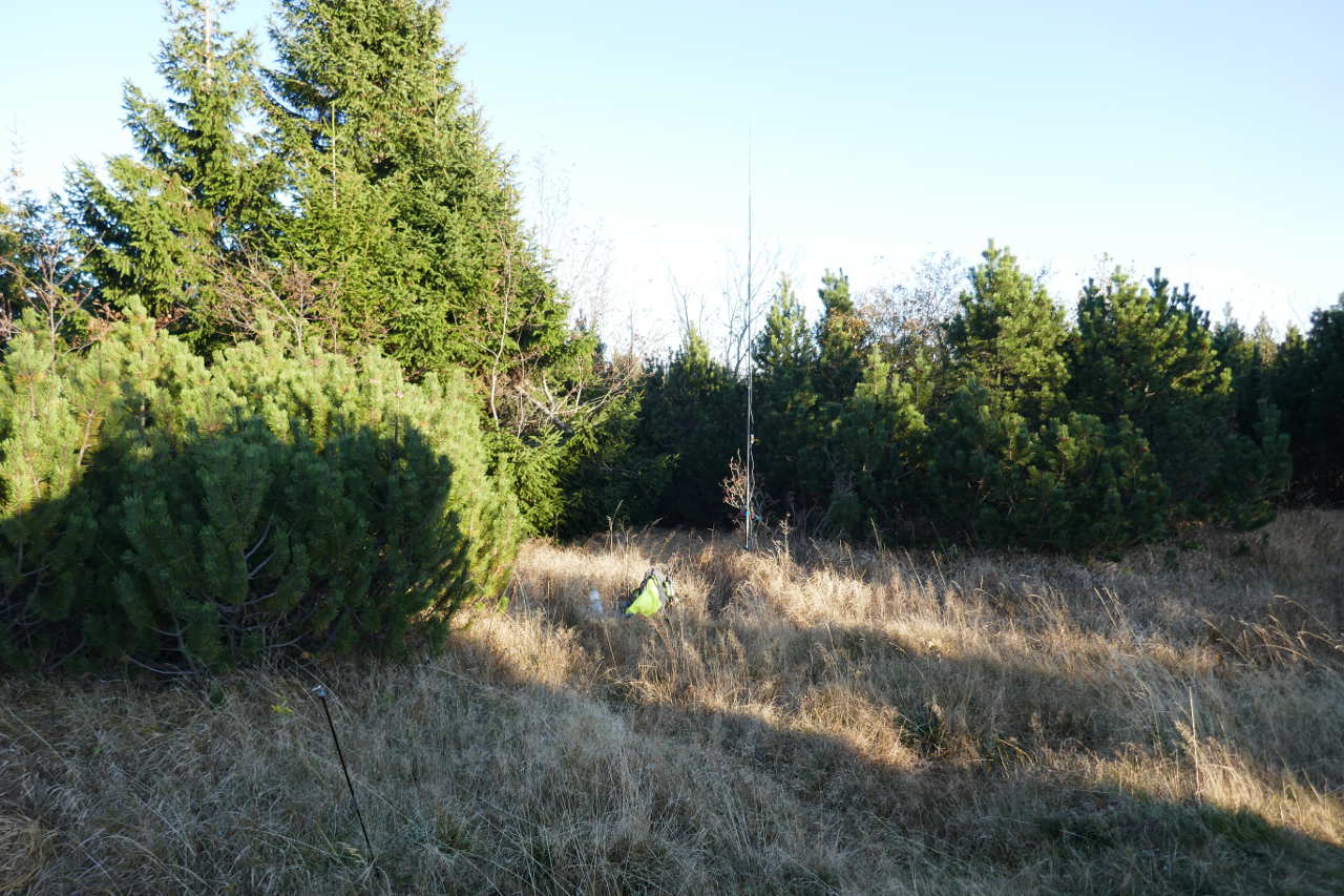
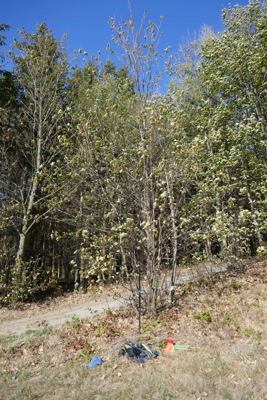
All that remains was his hat! I broke a zip on my new bag that delayed operations 25mins. I used the 40/30/20 trapped EFHW in inverted L strung into the trees. Anyway I’d packed up before I realised I had no photos. Almost at the summit, about 3m below I think. 18 QSOs on 40m CW. No SSB as I trod on the mic cable and broke the plug. 
Sedlonovský-vrch OK/KR-061 (12-10-18)
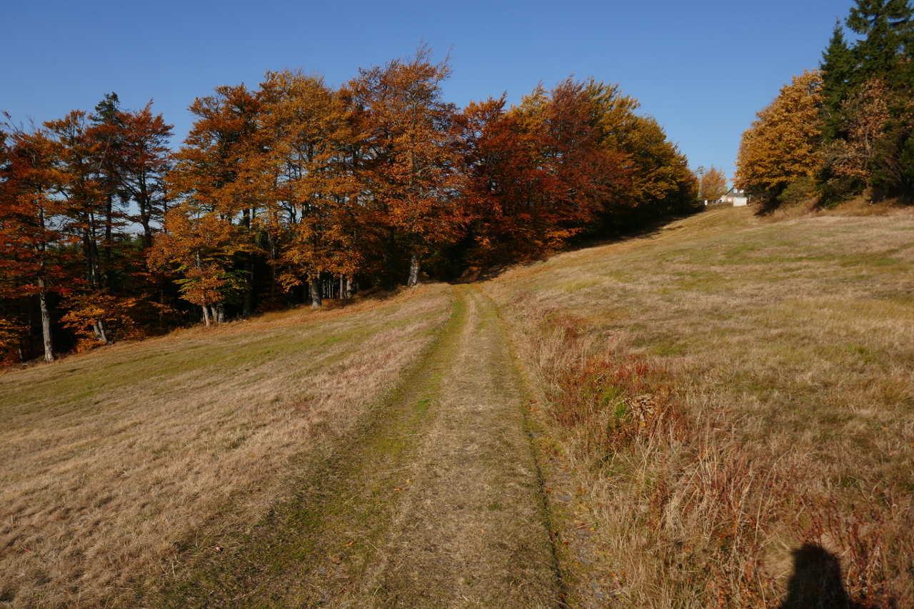
This is probably 20-25mins wander along from the last summit. There’s an easy track to follow once you get out of the woods. Starting to warm up now and the colour looking great.
A happier looking activator as the fix to the zip was working and the OSM derived maps were as accurate as always. Everything now going to plan.
After reaching the right place on the track I headed off into the woods to get up into the AZ. The true summit is in the denser woods so here was in the AZ and had space for antennas. 40/30/20 trapped EFHW in inverted L, 9 QSOs on 40 and 5 on 30m.
Polomský-kopec OK/KR-068- (12-10-18)
Back the track and further along the track. Plenty of signposts for the many trails in these lovely hills.

40/30/20 trapped EFHW in inverted L up into the trees. 20 QSOs 40m, 1 on 30m and 2 on 20m.
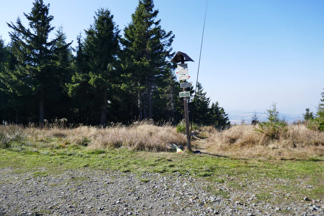
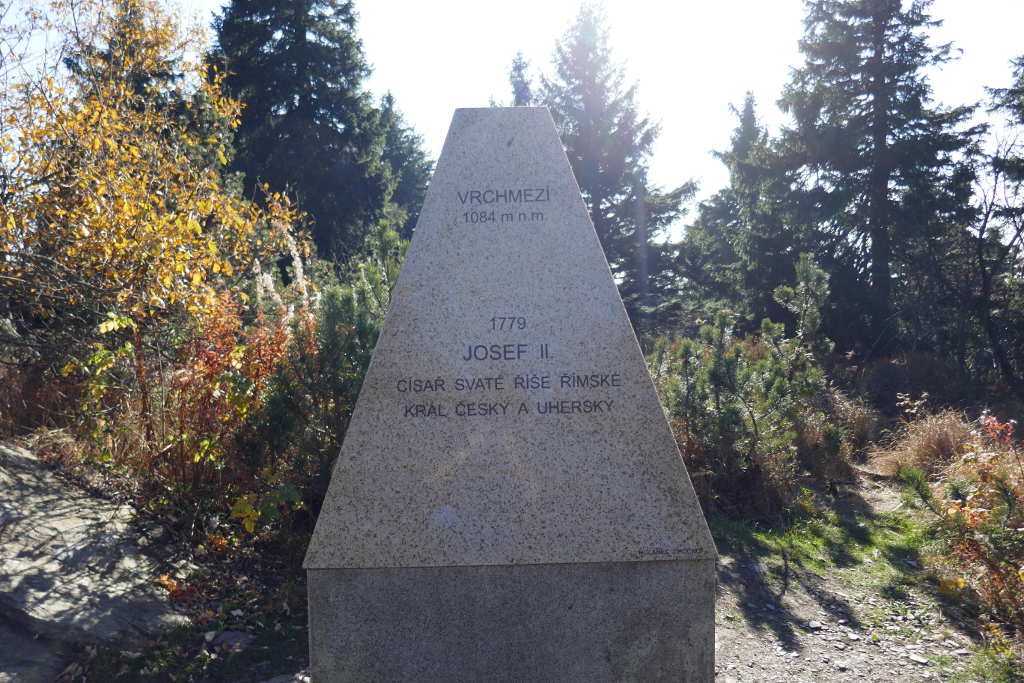
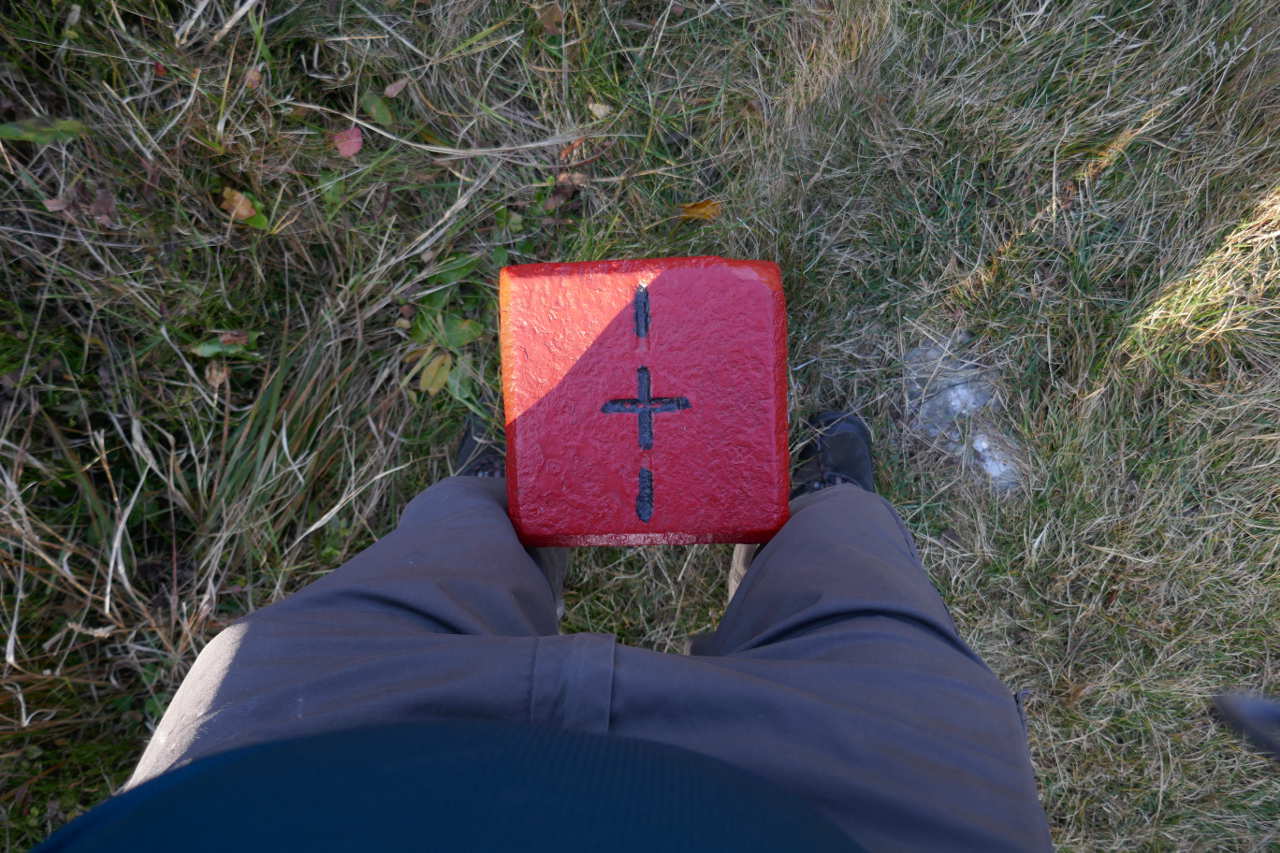
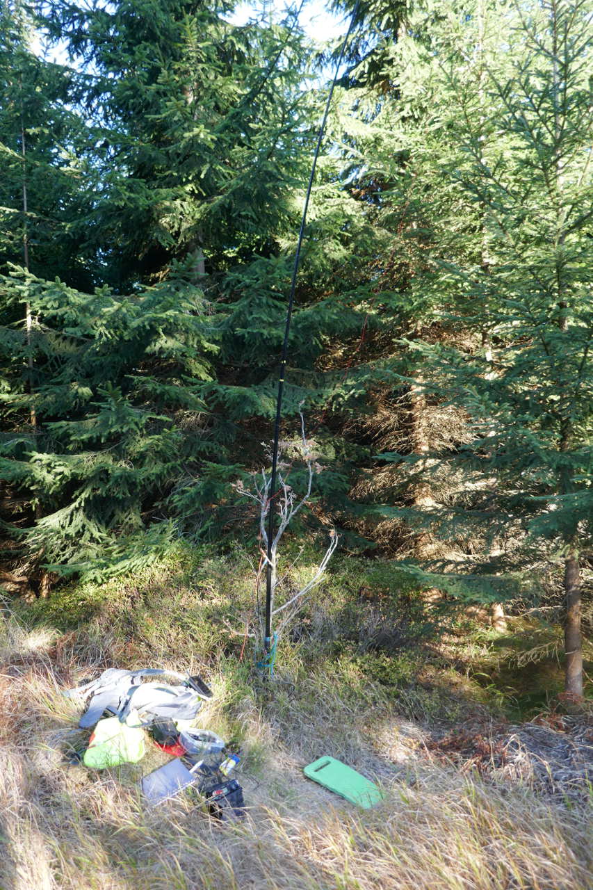
Vrchmezí OK/KR-010 (12-10-18)
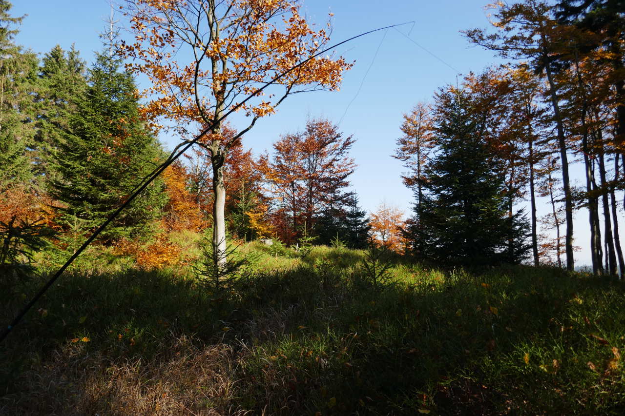
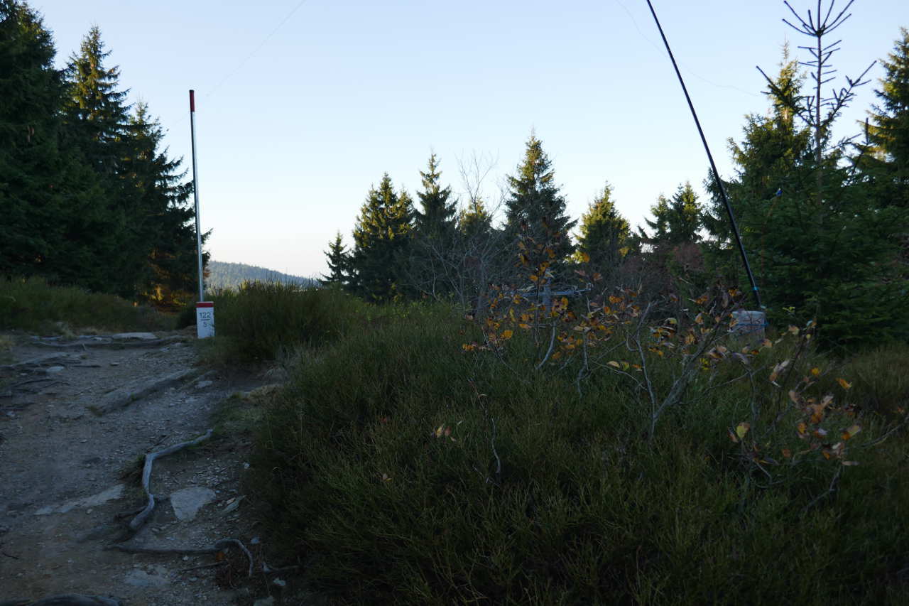
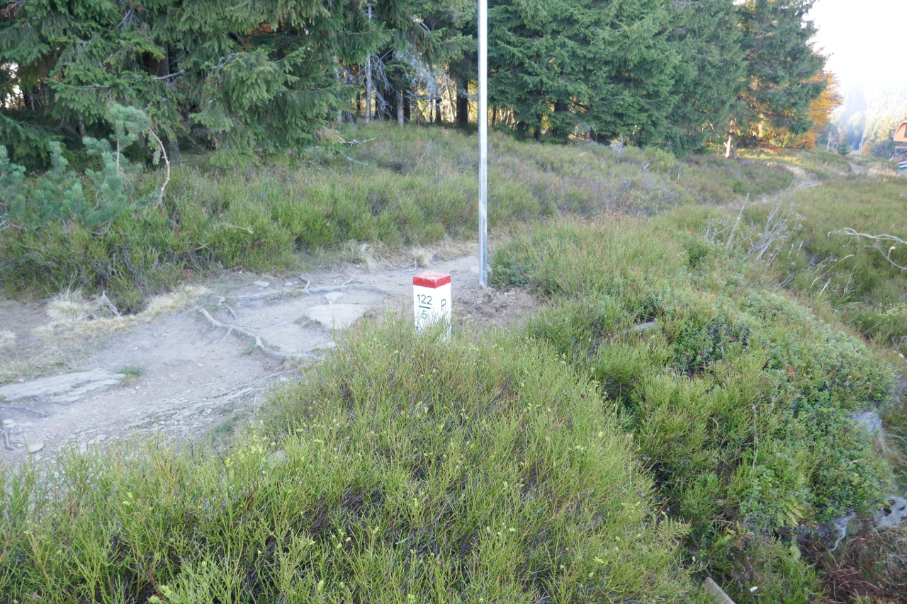
Another 30mins or so along the track then a quick detour got me to the highest summit of the trip. This one has an AZ that spans the OK and SP border so being a child, I had to operate as SP/M0FMF/P.
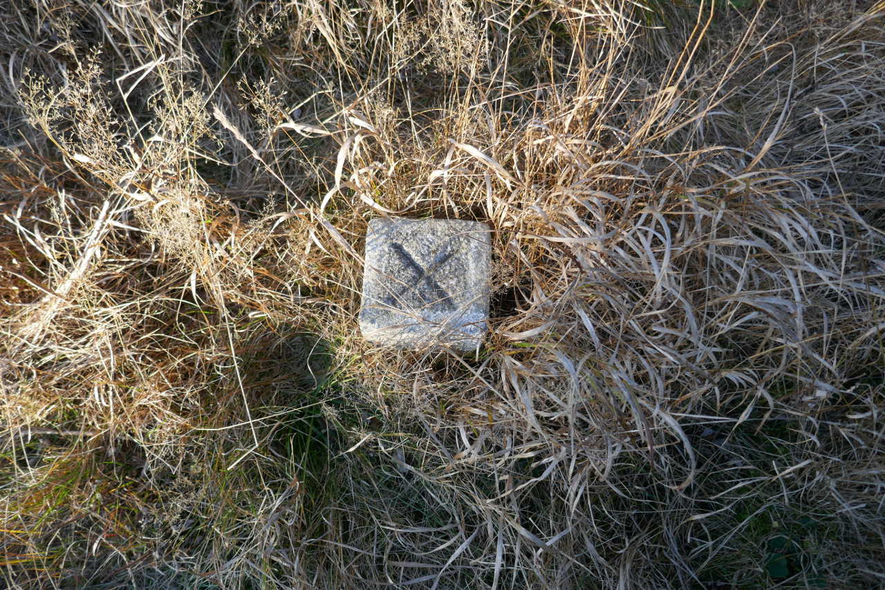
Summit marker, fairly impressive compared to a trig point!


Aha… left foot in Czech Republic and right foot in Poland. I did this 2 years back in OK and DL.
Antenna set up on the Polish part of the AZ. Again the 40/30/20 trapped EFHW in inverted L
The path which runs along the border. I’m in Poland here. The tree/shrub to the right is where the antenna pole was lashed. My phone roamed from O2-CZ to a Polish network when I stood to the right of the path. 19 QSOs on 40m and 1 on 30m.
The descent route was back tracking for a km or two before branching for the final summit. My phone was back with O2-CZ before I got to the posh summit marker!
Šerlich OK/KR-069 (12-10-18)
It was mainly downhill back to the final summit. I’d had some bread and cheese on the last summit and now treated myself to 1.2 a bar of tasty Czech choclate.
Downhill in autumn splendor.
Well it looks like the actual summit trig point for this summit is across in Poland not Czech Republic. You can see the trig point on the right and the border on the left. The path is in the Czech Republic now. My antenna is tied to the trig. Trapped EFHW again
Stood on the trig, a clear shot showing the trig is in Poland. 5 QSOs on 40m and 6 on 30m. It was starting to get dark and I was starting to get cold. A quick packup and it was about 15mins to get back to the car.
You can stay and/or eat here. It’s were Phil G4OBK stayed when he did this route. I was going to do it the other way round which would have left me with a 150+ ascent at the end of the walk. Phil’s way get’s all the real ascent and descent over at the start when you’re fresh.

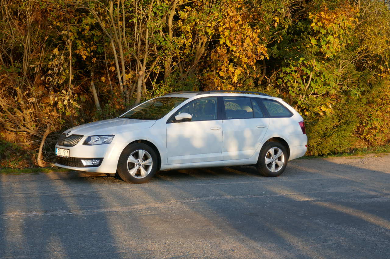
Back at the car 7hr30 later. I’d ordered a Corsa sized vehicle and was given this 1.6TDI Skoda Octavia Combi which went well, did 55mpg despite me thrashing it around windy lanes and had a splendid GPS.
Szczeliniec-Wielki SP/ SS-005 (13-10-18)
Poland is only a few minutes from where I was staying so I planned a few SP summits. Except there was a terrible traffic jam just as we crossed in Poland and it took me 50mins to drive 4km. It was traffic trying to park at a Saturday market. This caused a pan reavaluation, I’d do a quick SP summit then drive down the Polish side of the border back to the other part of the Eagle Mountains parking in the same place as before.
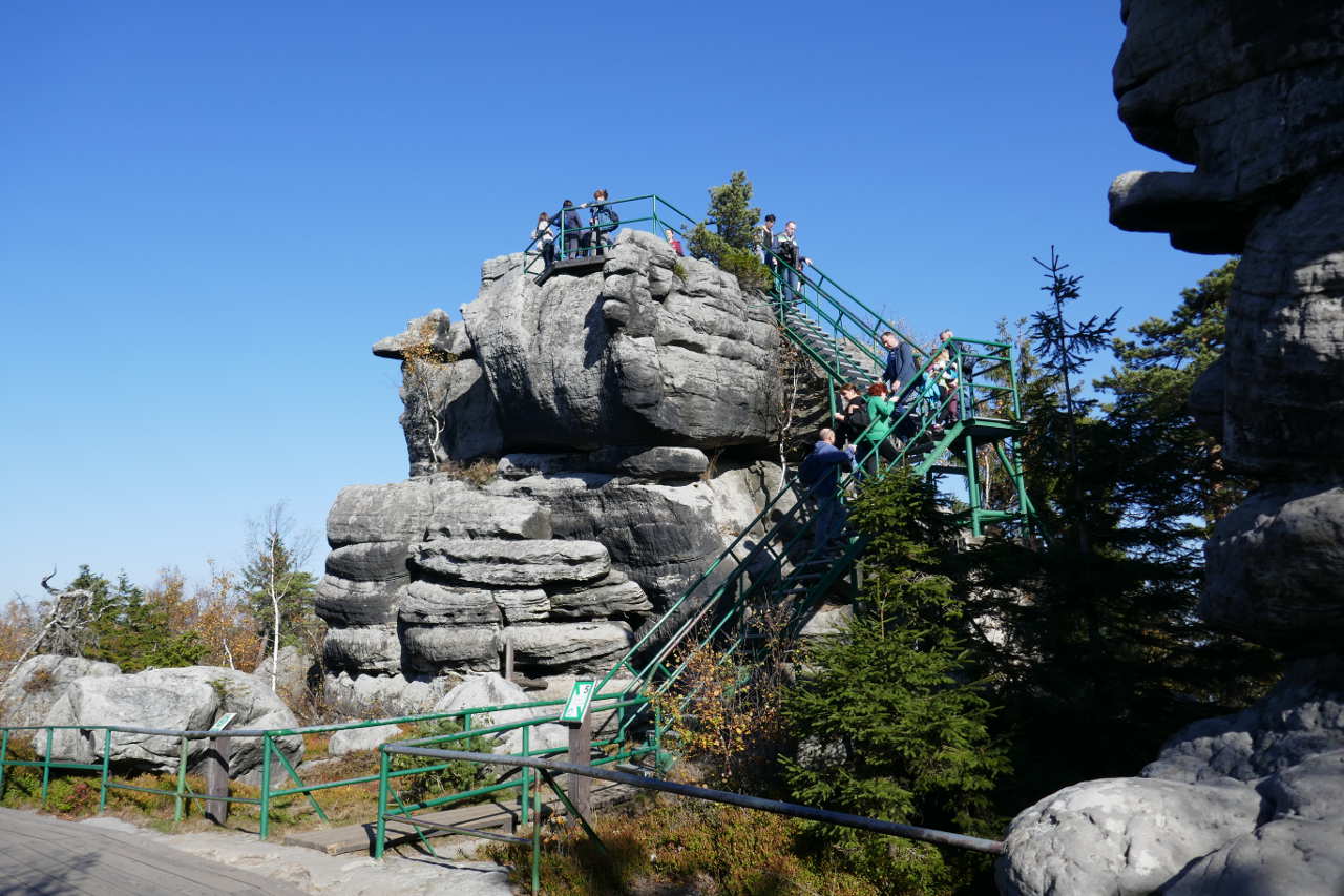
Fantastic weather (and I had fleece/waterproof). This place was SO busy. Luckily I found somewhere to park but I have never seen so many people on a summit.
Interesting rocks abound and there are so many visitors most rock formations have wooden or steel walkways to protect them. A quieter viewing platform.
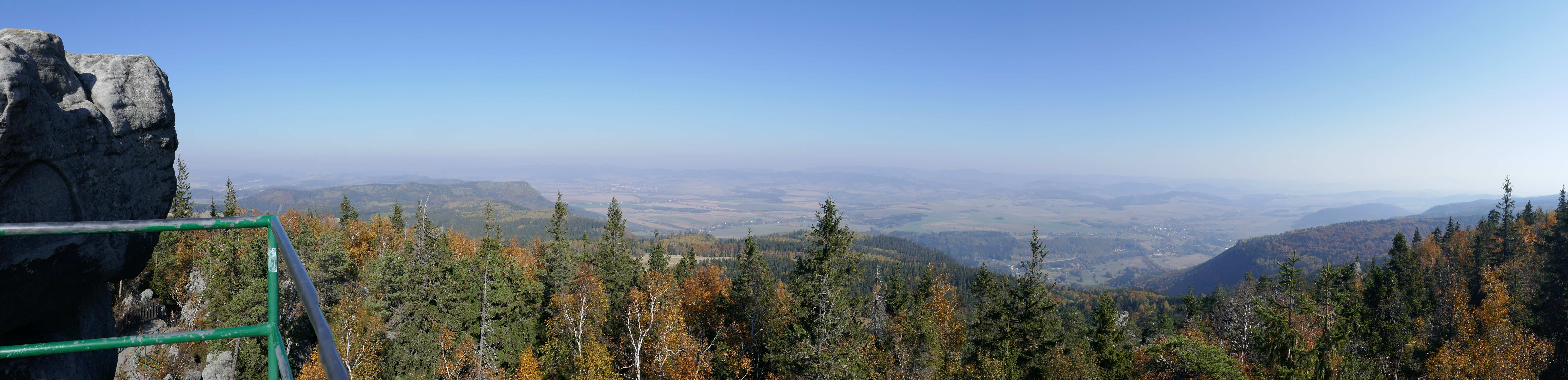
Panorama from the view point.
Looking down to the local village. Not far into Poland yet the buildings are very different to Czech Republic.
A typical view of the visitor density. Not far from here I ducked off the walkway, set up and rattled off a quick activation. 30/20m Buddistick clone, 5 QSOs on 30m.

Well worn paths lead up from the car park. There’s a cafe at the top and everyone was drinking beer but driving in OK means no drinking, the limit for blood alcohol is 0!
Velká-Deštná OK/KR-008 (13-10-18)
Back to my original parking point and it was gone noon when I set off the other way to yesterday. The 1st summits about 3km of gentle climbing from the car park. 30/20m Buddistick clone. 6 QSOs on 30 and 6 on 20m
Vresník OK/KR-060 (13-10-18)
This is off-road compared to all the other summits. You leave the tarred paths and it’s on grass and through trees. I was worried as Phil G4OBK’s description said it was boggy and the path disappeared. He was right but I counted paces and checked the Orux map display and the mapped path is accurate. Eventually after a little climbing you reach this quite open summit.
Buddistick clone rigged giving 5 QSOs on 30 and 5 on 20m.
Orel OK/KR-009 (13-10-18)
A short walk gets you to this summit where a local radio club’s contest caravan is stationed. This was as far as I could go even though there are a few more simple 10 point summits not to far further. But it was 4.20pm and I had a 5.5km walk back to the car. I had to be away from here by 5.00pm to ensure I got back in daylight.
30/20 Buddistick clone deployed One of my plastic “bulldog” clips I use for holding stuff in place pinged off into the long grass never to be seen again. Annoying as I bought a bag of 5 in 2006 and have been using them for nearly 12 years. 5 QSOs on 30m and 3 on 20m.
Summit trig point
From here it was a simple walk back to the car. There was a long flat section and I decided to take a grassy bypass path that saved a km at the expense of 150m descent and re-ascent. Well the exercise would be worth it.
Another good Autumn view on the track back.
30mins from the car and it was starting to get quite dark. Still I was back just before sunset with a total walk of 13.5km.
Dobrošov OK/KR-079 (14-10-18)
This is about a 20min walk from my hotel. By Sunday morning it was very, very windy. There are always enough trees to give some shelter though.
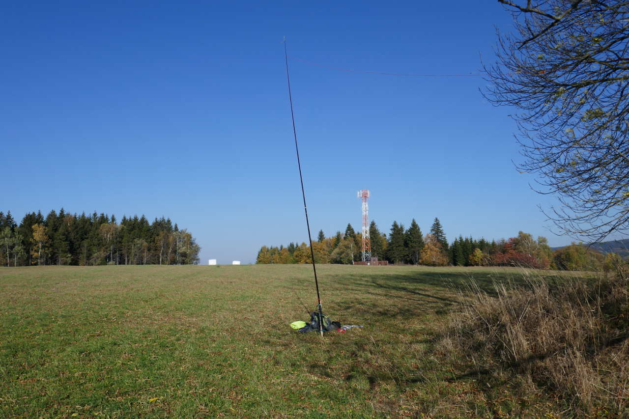
Operating point was in these trees, car park is just behind. Operation was with the Buddistick clone, 7 QSOs on 30m and 2 on 20m.
A cafe/bar at the summit. It was only 10:00am but the walkers were already out in force.

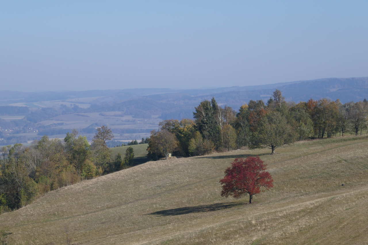
The countryside puts on a splendid display of Autumn colours here.
Na varte OK/KR-080 (14-10-18)
About 35 mins drive from OK/KR-079. Navigating Nina kept trying to direct me down farm tracks that would be challenging for even a Land Rover. After going in circles a few times, I ignored and she got upset but after about 10kms of making my own way she figured out what to do. There was a cafe/bar at the foot of this hill so I had an espresso and set off up the massive 10min stroll to the AZ.
Again the AZ is in dense woodland so I operated for the edge of the woods using the trapped EHFW. 19 QSOs on 40m, 7 on 30m and 3 on 20m.
Then it was back to the car for the final summit of the expedition.
Skutina OK/KR-020 (14-10-18)
Navigating Nina did an excellent job and I parked in a wide driveway. Then it was a simple stroll of 10mins well into the AZ.
A set of masts at the summit, no noise on HF from here for me.

Trapped EFHW in inverted L, the end off into the trees behind. 14 QSOs on 40m, 4 on 30m and 4 on 20m including best DX of the whole trip, KA1R and N4EX.
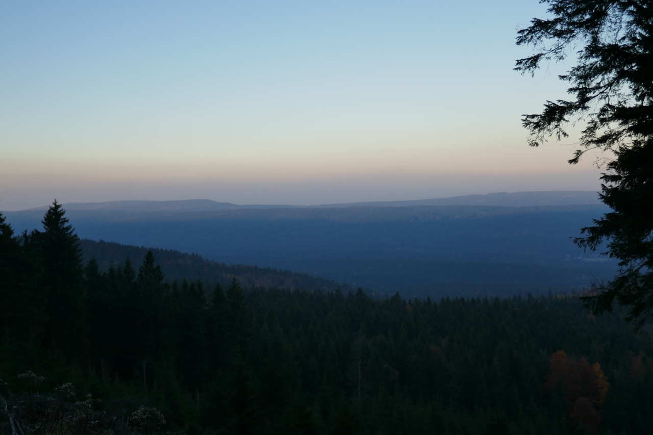
One last view of the Eagle Mountains.