In addition to the summits and association data updates, I have tweaked a few features on the DB app.
Aggregated associations updated to feature All LU and All PY as these countries will feature multiple associations.
Added missing associations to All W (KH0,KH2), All VE (VO1, VO2, VY1, VY2, VE3)
Dropped the association name from the AM reports filename. So England’s report is now G-activity.csv and not G - England_activity.csv. Unicode file names work on both WinServer-2012 (where the DB runs) and Linux (where the files are made available to everyone), unicode names do not work when the files are zipped and transferred.
DB ident is “Version : 2.1.6784.25317, Created (UTC): 29-Jul-18 14:03:54”
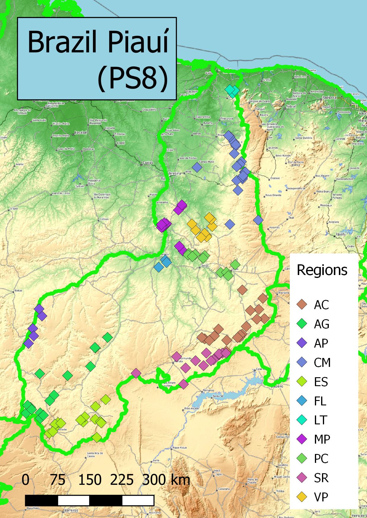
This is the second part of our update to EA4, using 5-m horizontal resolution LIDAR data from IGN, Spain’s national mapping agency.
Last time we identified 15 summits that were subsidiary to higher points and set them to retire at the end of August. Their replacements are now on the system, and we’ve set these to start on 1st September. So you’ve still got a month if you want to activate the old positions.
These are the old, retiring references and their replacements:
Old Ref.
Replacement
EA4/BA-005
EA4/BA-021
EA4/BA-008
EA4/BA-022
EA4/BA-011
EA4/BA-026
EA4/BA-012
EA4/BA-031
EA4/CC-015
EA4/CC-044
EA4/CR-011
EA4/CR-031
EA4/CR-017
EA4/CR-039
EA4/CR-020
EA4/CR-047
EA4/CR-025
EA4/BA-024
EA4/GU-007
EA4/GU-050
EA4/GU-029
EA4/GU-052
EA4/GU-036
EA4/GU-059
EA4/GU-046
EA4/CU-042
EA4/MD-016
EA4/MD-054
EA4/MD-018
EA4/MD-055
The 327 other new EA4 summits will be live from 1st August.
Do take note of where we have moved away from a vértice. If we’ve moved to a new position with a new reference it means the old position will no longer be valid. I noted the following new references where the vértice is not in the AZ:
This stems from an enquiry we received about activating the last unclaimed (for climbing) US county high point - the volcanic summit of Agrihan Island in the Commonwealth of the Northern Marianas.
Sadly this attempt had to be postponed, but we’re listing all the summits anyway. Activating any of the unpopulated islands would be sure to be a major undertaking (clearing a trail, &c) and any of them will likely throw up other issues. We’re grateful to Todd, KH2TJ, for taking on the AM role.
It’s my understanding that Simon takes care of producing good ARM’s, while Andy does his best to map data from different ARM’s into the corresponding database tables and records. Now, my question is who is in charge of correcting possible inconsistencies?
Namely, the E7 ARM contains the following line: Min. height for bonus: 3 Points for activations ≥ 1 000m ASL
A quick look at sotamaps popup windows (which reflect the database settings) shows that the minimal height for bonus points is set to ≥ 1400m ASL. Would somebody please correct this.
BTW, I was told that E7 SOTA was initiated by two Slovenian (S5) guys, who apparently copied the Association Reference Data table from the S5 ARM to the E7 ARM. Now, it may or may not be a good approach. I hope the MT will reconsider data in the Bosnian ARD table during the next review of the E7 ARM and make it more consistent with General Rules rather than Slovenian specific data.
And, yes, S5 ARM should be reviewed, too. It contains some statements inconsistent with General SOTA Rules.
Zoran, the points that you raise here should be made by PEM to the MT, that way they are more likely to quickly be directed to the attention of the appropriate people. With regard to the specific point raised about bonus points, in my opinion the ARM is the reference source and any conflicting details elsewhere should be ignored.
There is a contact page on the website (SOTA Home on the Sotawatch menu) but also if you go to the About SOTA page and scroll down you can get contact with individual MT members. Probably best to use the contact for all members where the matter concerns more than one of them.
One more 1st August new summit to bring to your attention, especially OM and SP ops.
Rysy, OM/PO-092, 10 points, has its true summit just on the OM side of the border with SP. However, according to data on peakbagger.com there is only a 9-m drop off Rysy North Peak, itself a little over 3m lower, before rising to the high point. This puts the North Peak in the AZ.
So why is this notable to SP ops? Rysy (North Peak) is the highest point in SP. Taking care over the AZ, activate using the OM ref and adjust your call sign according to which side of the border you are.
I performed some data kung-fu with summitslist.csv and it seems that eight summit names in the database contain HTML character code (') instead of apostrophe. KLA/LN-521, for example. Can you fix this while you are at it, please?